Figures from Edward J. Kaiser and David R. Godschalk, Twentieth Century Land Use Planning, APA Journal, Summer 1995:
- Berkeley Master Plan: Example of the land use design map featured in the 1950s General Plan.
- Howard County General Plan: Howard County, Maryland, General Plan, Land Use 2010.
- Land Classification Plan: Example of a land classification plan from Forsyth County City-County Planning Board 1988.
- Loudoun County, Virginia General Plan: Neotraditional community schematic and generalized policy planning areas.
- Sanibel Permitted Uses: Map of permitted uses, Sanibel.
- Seattle Urban Villages Strategy: Map, from Seattle Planning Department 1993.
- Albuquerque Planned Growth Strategy
- Austin, Texas: Imagine Austin
- Bremerton, Washington Downtown Urban Design Strategy
- Chesterfield, Missouri Comprehensive Plan
- Cincinnati Comprehensive Plan
- City of St. Louis Strategic Land Use Plan
- Clayton, Missouri, Clayton Road Urban Design District
- Comprehensive Plan for Marion County, Indiana
- Connecting El Paso
- Creve Coeur, Missouri 2020 Comprehensive Plan
- Denver Comprehensive Plan 2020
- District of Columbia, Anacostia Waterfront Initiative Framework Plan
- Fresno, California General Plan
- Historic Preservation Master Plan, Asheville, North Carolina
- Howard County General Plan
- King County, Washington Comprehensive Plan
- Manchester, New Hampshire Gateway Corridor Plan
- Minneapolis 2040 Plan
- Nashville East Bank Vision Plan
- New Jersey Pinelands, Comprehensive Management Plan
- Norfolk, Virginia Vision 2100 Plan
- Orlando, Florida, Southeast Orlando Development Plan
- Pasadena, California, Central District Specific Plan
- Pasco County, Florida Comprehensive Plan
- Philadelphia General Plan
- Pleasant Hill Bart Station Architectural Standards
- Portland, Oregon District Plans
- Portland, Oregon Comprehensive Plan
- Portland, Oregon Metro, 2040 Growth Concept and the Regional Framework Plan
- Puget Sound (Washington) Regional Council: Vision 2040
- Redwood City, California Downtown Precise Plan
- Raleigh, North Carolina Comprehensive Plan
- San Antonio Comprehensive Plan (2016)
- San Francisco Bay Area Plan
- San Jacinto Neighborhood Plan
- Santa Monica Climate Action Plan
- Seattle Comprehensive Plan
- Seattle Neighborhood Plans
- Sioux Falls, South Dakota Comprehensive Plan
- St. Louis County Strategic Plan
- St. Louis Midtown Strategic Plan
- Tacoma Downtown Plan
- Tahoe Regional Plan
- Tallahassee, Florida Comprehensive Plan
- City of Tucson General Plan & Sustainability Plan
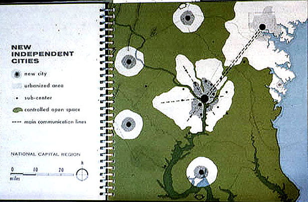
Washington, D.C. Year 2000 Plan – 1965: